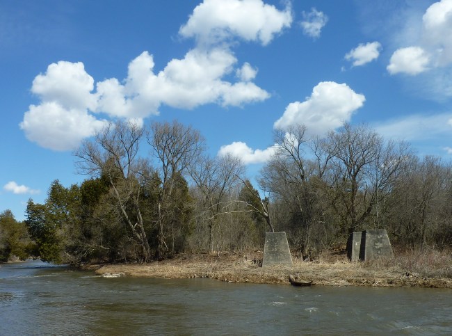
By definition, fens are flat, marshy lands frequently overrun by water. And the midway fens on the Ganaraska are hardly midway down the length of the Ganny Fanny cruise. But this stretch of the Ganny is about midway between the conservation area and the emergence of the Ganaraska into Lake Ontario at downtown Port Hope. And for being flooded, the stretch of low flat lands is typically well under water during the Spring snow melt runoff. And when a major storm hits like very the wet remnants of Hurricane Irene this year, the waters rise and floods over this many part of this stretch of the Ganaraska basin.
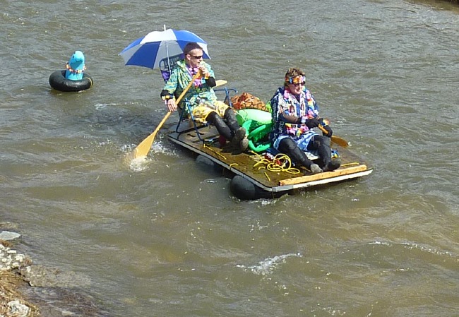
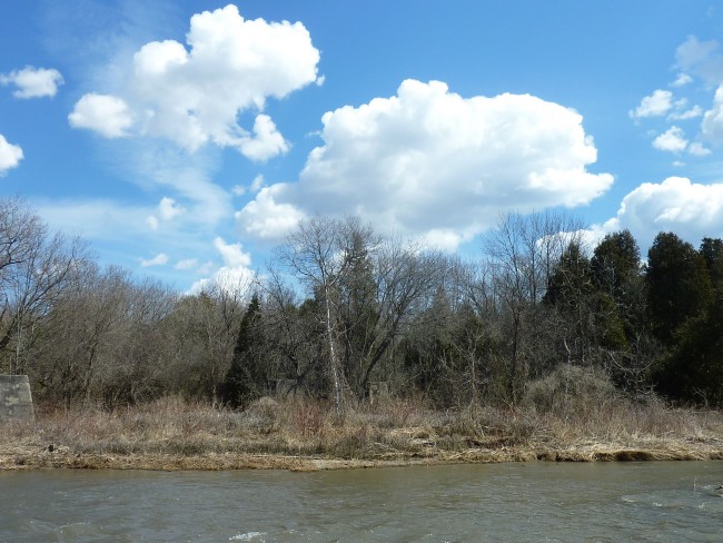
This stretch looks innocent enough
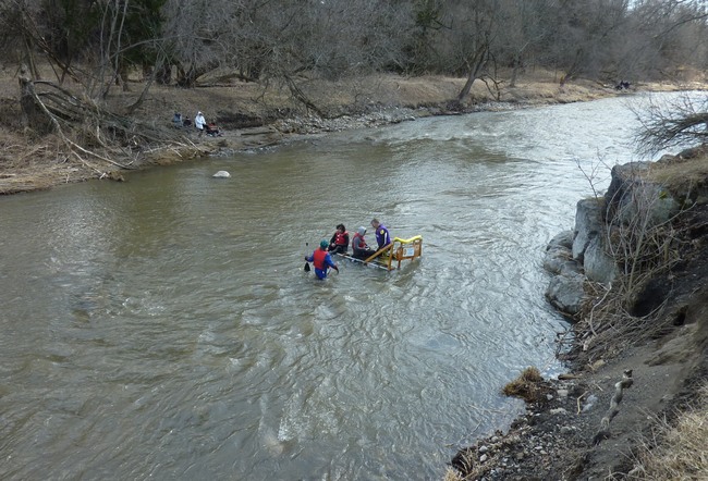
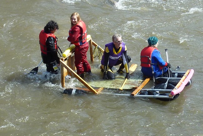
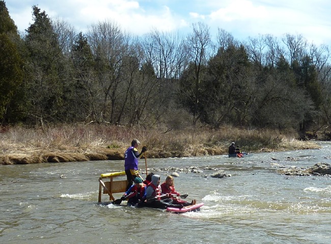
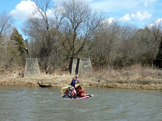
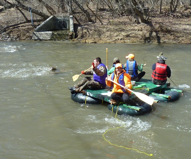
What makes matters worse is that fallen trees and sudden sandbars make for different navigable channels through the area almost from year to year. Generally choosing the starboard channel is the best route through every year. But there are exceptions – and there is always an adventurer or two who have to see the “way not taken”. And 2011 was no exception:
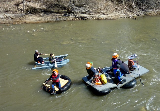
The final problem is that the river opens so wide that it can become so shallow that Ganny Fanniers have to abandon ship in order to get enough clearance through the sandbars and shallows. Thus begins for some Ganny Goers a very wet part of floating on down to Port Hope.
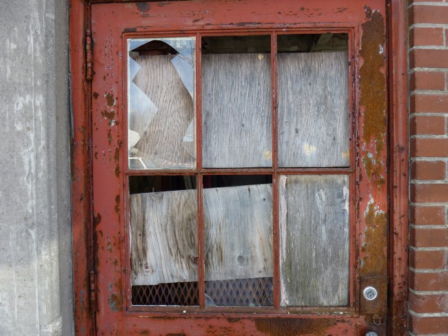
The other nifty part of this stretch is that Ganny-goers get carried past more of Port Hope’s history. In this case the old and abandoned factories on the West side of the Ganaraka. Some of the plants have changed hands and industries in the 50’s and 70’s; but most are shuttered up. A reminder that our industrial age is also a disruptive one for both industry and jobs. However there is no time to dwell on this as the river now provides a whole series of rapids and small ledge like falls as Ganny Fanniers reach the end of “their river cruise”.